
Jurukur Putra (Timur) prides itself in offering a wide arrange of survey services for commercial, and residential clients. We offer the best customer service, and turnaround times in the area.
Engineering Survey
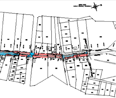
Highways & Road alignment, Building Corrosion Survey.
Title & Cadastral Survey
Survey of Land for Building, Agriculture, Mining etc.
Construction Survey
Piling Setting-Out and As-Built Survey.
Topographical Survey
Create spot height maps, contour maps, or terrain models of the surveyed area.
Aerial Photogrammetry
Imagery gathered in the air by UAVs to create computer-generated 2D and 3D models.
Utility Survey
Detection, positioning and identification of buried pipes and cables beneath the ground.
Geodetic Control Survey
The survey that establishes positions of points with a high degree of accuracy.
Transmission Line Route Survey
The detailed survey on the transmission line route approved by TNB.
Hydrographical Survey
The survey of the physical features present underwater. (Bathymetric Survey)
Consultation
Consultation and Solutions in GIS (Geographical Information System) and LIS (Land Information System). Advice and Consultation in Housing, Land and Property Development. To ensure better quality and products, we utilize:
- The latest IT (Information Technology), Computers, hardware and software in Processing our field works (field to finish) until the reproduction of Plans and Maps.
- We use IT to provide the best quality product, accurate field works data, specifications, on progress works and schedule.
- The latest and most advance survey equipments, hardware and software on the market. This includes, starting from the field survey works, collection of raw and field data until the preparation of working and finish plans as the products.
- The said services based on the commitment and trustworthy of the individuals of our staff and management in the organization. This will provide our clients to achieve their goal and being satisfied with the quality of or services and products.
Products
- On Site and Field Surveying (all kinds)
- Digital data and Processing Field Survey Works
- Production of all kinds of Survey plans, Printing and Reports
- Scanning, Computer Digitizing Maps and Plans
- Advice and Consultation of Survey Works for the purpose of Land and Property Development (all kinds) etc.
Plans
Land Acquisition Plan

Utility Plan
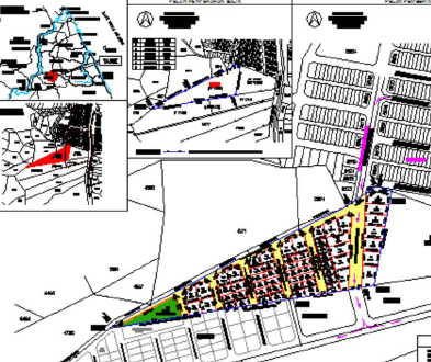
Pre-Calculation Proposed Plan Layout
